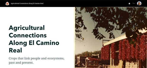
StoryMap: Agricultural Connections Along the El Camino Real
The R.H. Mallory Center for Community Geography partnered with the National Trails – NPS in Spring 2020 to create StoryMaps that would connect community members to El Camino Real de Tierra Adentro National Historic Trail. As part of the collaboration, students from Critical Cartography (GEOG 413/515) designed two StoryMaps in coordination with Center Project Assistant Desiree Loggins focused on agriculture and transportation to illustrate the important cultural and spatial connections made along El Camino Real that continue to make echoes today.
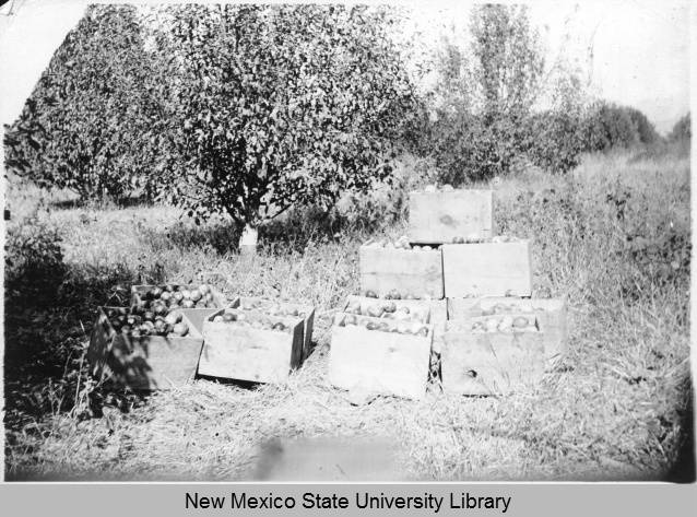
This StoryMap examines the role of agriculture along El Camino Real de Tierra Adentro National Historic Trail. The crops grown and traded along its route sustained generations of Indigenous, Spanish, Mexican, and American populations. El Camino Real remains important to the diverse cultures of the Rio Grande Valley, where Indigenous crops continue to influence farming practices.
El Camino Real de Tierra Adentro remains a celebrated cultural and historic route linking the United States and Mexico. The busy Interstate 25 largely runs parallel to the original path of the trail, still moving travelers north and south through the center of New Mexico and down to El Paso, Texas. In this way, El Camino Real remains a living historic route for those who travel on both sides of the U.S.-Mexico border.
By using agriculture as a lens, we can understand the impact and history of Indigenous and Spanish settlers along the trail. Without agriculture, communities would not have been sustained for generations, nor become permanent settlements. This StoryMap captures and highlights the interaction between humans and the environment through space and time in present-day New Mexico.