Re-Examining the Old Spanish Trail, storymap and class project in Critical Cartography
The department of Geography & Environmental Studies offers a class in Critical Cartography (GEOG 413/513) that is taught by Maria Lane. In this course, students learn about participatory mapping, countermapping, data sovereignty, and more. Critical cartography is a set of mapping practices and analytical approaches grounded in critical theory. Critical cartographers merge humanistic and scientific questions in their work, recognizing maps as expressions of power and knowledge.
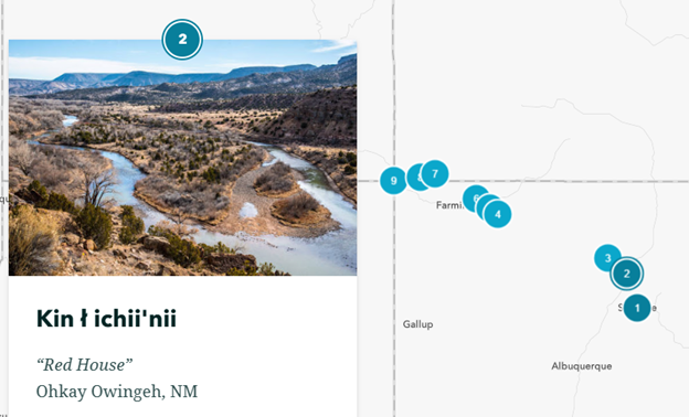
In the spring semester of 2023, Critical Cartography students conducted a map-based exploration of the Camino Real de Tierra Adentro, a national historic trail that runs through Bernalillo County. In collaboration with the Center for Community Geography and multiple community partners, the students created StoryMaps that highlight key themes along the trail corridor, in both historic and modern context. Two groups of students tackled the challenge of how to incorporate Indigenous histories and geographies into maps of the Old Spanish Trail. One group focused on the eastern portion of the trails in the Four Corners area, while the other focused on Cajon Pass at the western end of the trail.
Because the Old Spanish Trail is a settler tail, its maps and interpretation typically focus on settler histories. Critical Cartography students worked to identify missing Indigenous histories and experiment with representational techniques that would address this shortcoming. Students worked together to design a cartographic "intervention" using different techniques and technologies. In the process, they learned about Indigenous experience in the Southwest and developed new technical skills.
The Camino Real has served for centuries as a corridor for transportation, trade, and cultural exchange. The Camino is currently the subject of an ongoing planning process to identify and develop opportunities for preservation and public use of the historic route in Bernalillo County. Geography students’ work to support this process has been conducted in partnership with the NPS-National Trails office in New Mexico, alongside other partners from Bernalillo County and the National Park Service. This is the capstone project for the Critical Cartography class and provides students a chance not only to learn about different mapping approaches but also to work on an applied project in UNM’s home community.
Check out the StoryMap!
