Geospatial data aggregator and visualizer for Albuquerque
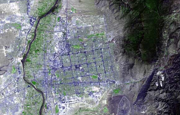
Joshua Driscol is working on an interactive web map to address many issues related to access and use of geospatial data about Albuquerque. Spatial data is a powerful tool for visually asking complex questions. It can allow us to easily search through data and discover patterns within it. Still, not everyone has Geographic Information Science (GIS) experience. What's more, geospatial data is often kept across different government agencies' or non-profits' websites and saved in varying formats unique to GIS data. This can be a barrier to access for many members of the public and prevent them from engaging with spatial data. Joshua's web map is meant to be a data aggregator and visualizer for Albuquerque, New Mexico and the surrounding area with a specific focus on interactively representing social and environmental justice issues. One of the primary goals in making this online, interactive map is to create software that will allow people without GIS or coding experience to ask questions related to social and environmental justice issues.
