Critical Cartography StoryMaps Connect Community Members to El Camino Real de Tierra Adentro National Historic Trail
 We are happy to announce that a student mapping project from 2021's Critical Cartography (GEOG 413/515) class was just published to the National Parks - National Trails (NPS) website. This service learning project was supported by the Center for Community Geography. Students worked closely with NPS to create twoStoryMaps to improve awareness of and access to El Camino Real de Tierra Adentro National Historic Trail. Their cartographic contributions illustrate the important cultural and spatial connections made along El Camino Real that continue to make echoes today.
El Camino Real de Tierra Adentro remains a celebrated cultural and historic route linking the United States and Mexico. The busy Interstate 25 largely runs parallel to the original path of the trail, still moving travelers north and south through the center of New Mexico and down to El Paso, Texas. In this way, El Camino Real remains a living historic route for those who travel on both sides of the U.S.-Mexico border. Explore more in the maps linked below.
Student intentions behind this StoryMap were to cultivate new experiences and connections with El Camino Real through interactive features, participatory language, and encouragement to visit trail sites in person. Three select locations (Petroglyph National Monument, Gutiérrez-Hubbell House, and Martineztown) were chosen to tell a unique story surrounding transportation along El Camino Real. View the StoryMap here!
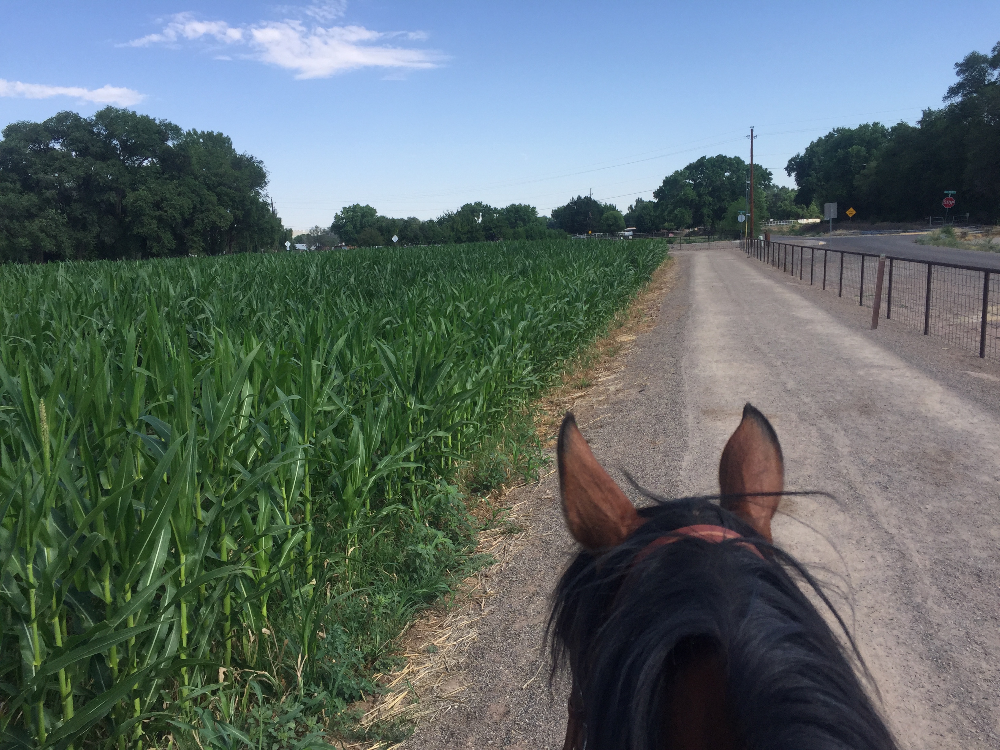
By using agriculture as a lens, we can understand the impact and history of Indigenous and Spanish settlers along the trail. Without agriculture, communities would not have been sustained for generations, nor become permanent settlements. This StoryMap captures and highlights the interaction between humans and the environment through space and time in present-day New Mexico. View the StoryMap here!
Photo: Shannon Pepper, Pajarito Open Space
