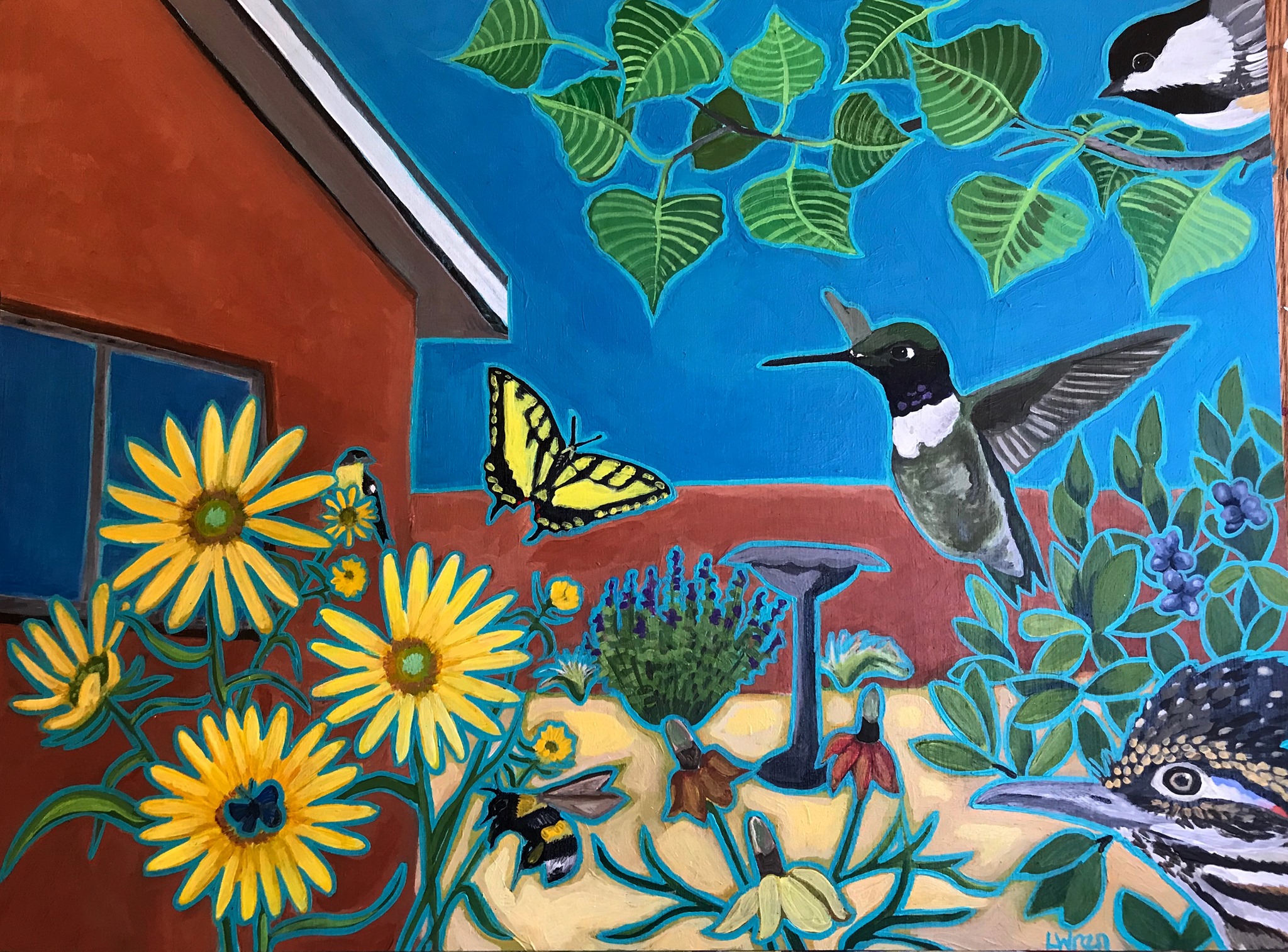
Mapping tool for the Albuquerque Backyard Refuge Program

Center for Community Geography Project Assistant Joe Scala is working in collaboration with personnel from Friends of Valle de Oro National Wildlife Refuge and their partners to create a multi-layer mapping tool that utilizes citizen/community science (such as iNaturalist observations, eBird data, heat island analyses, parcel information etc.) with the intention of identifying areas that would be ideal for improving habitats for people, native flora, and fauna as well as migratory species in the city of Albuquerque and surrounding area. This is done using ArcGIS Online and ArcGIS Experience Builder which provides an interactive and intuitive mapping experience for users so that both the Friends of Valle de Oro and their partners can identify areas of focus related to their respective projects. The utilization of ArcGIS Experience Builder also allows for the incorporation of additional citizen/community science data as it becomes available.
