StoryMap: Traversing El Camino Real de Tierra Adentro
 The R.H. Mallory Center for Community Geography partnered with the National Trails – NPS in Spring 2020 to create StoryMaps that would connect community members to El Camino Real de Tierra Adentro National Historic Trail. As part of the collaboration, students from Critical Cartography (GEOG 413/515) designed two StoryMaps focused on agriculture and transportation to illustrate the important cultural and spatial connections made along El Camino Real that continue to make echoes today.
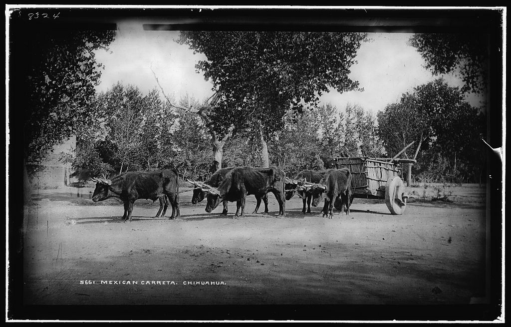
Student intentions behind this StoryMap were to cultivate new experiences and connections with El Camino Real through interactive features, participatory language, and encouragement to visit trail sites in person. Three select locations (Petroglyph National Monument, Gutiérrez-Hubbell House, and Martineztown) were chosen to tell a unique story surrounding transportation along El Camino Real. Additionally, students created a narrative about this topic that is inclusive to the Indigenous people who existed and traveled along these routes long before the arrival of Europeans by emphasizing their history.
